The Guamuhaya Massif, spanning the provinces of Villa Clara, Cienfuegos, and Sancti Spíritus, is being proposed by the Cuban government as the next national geopark due to its rich biodiversity, historical significance, and tourism potential.
The Central Geomining Company is the entity responsible for preparing the dossier that will be considered, according to the official newspaper Granma on Tuesday. Dr. Enrique Castellanos Abella, Director of Geology at the Ministry of Energy and Mines (MINEM), stated that the geological-geomorphological study is set to conclude by early 2025 to evaluate the site's candidacy as Cuba's next geopark.
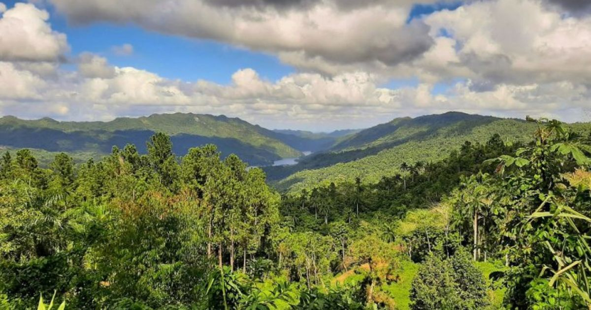
Geological and Natural Highlights
Also known as the Escambray Mountains, the area features metamorphic rocks, creating a mosaic of minerals resulting from contact or regional metamorphism due to increased temperatures. According to Castellanos, the area includes the Topes de Collantes Protected Natural Landscape, the Lomas de Banao Ecological Reserve, Hanabanilla Lake, El Nicho, and the national monuments Caballete de Casa and Caverna Martín.
He also noted other significant details, such as Pico Tuerto, which at 919 meters above sea level, is the highest point in Villa Clara's landscape, forming part of the Hanabanilla Protected Natural Landscape.
Additionally, the specialist mentioned that the Camagüey Geomining Company is examining the geological-geomorphological documentation of the Sierra de Cubitas in northern Camagüey province, covering an area of 822 square kilometers, with a view to its valuation as another new geopark.
Recently, the Sierra de la Gran Piedra, along with the Alturas de Santa María de Loreto and the Mar Verde-Baconao Coastal Terraces, was approved as Cuba's second National Geopark.
The resolution was published last April in the Official Gazette of the Republic, highlighting the area's agroforestry management programs, soil and water conservation efforts. The first national geopark, Viñales Valley in Pinar del Río province, was declared in 2021 due to its geological importance.
The decision was made by the Cuban Council of Ministers, emphasizing that in Viñales, a National Monument and World Cultural Landscape, 57 geosites have been identified, including ten of international interest, 23 of national interest, 18 regional, and six of local relevance.
This declaration is supported by Decree Law 11/2020 of Cuba's Geological Heritage, which established the National Geoparks Committee, linked to the exchange of information, collaboration, and advisory services of the United Nations Educational, Scientific and Cultural Organization (UNESCO) and its Global Network.
Understanding Cuba's Geoparks Initiative
To better grasp the significance of Cuba's geoparks and their impact, here are some commonly asked questions and their answers.
What qualifies a site to become a geopark in Cuba?
A site must demonstrate significant geological, historical, and ecological value, along with potential for tourism and community engagement. It must also undergo a thorough geological-geomorphological study.
What are some notable features of the Guamuhaya Massif?
The Guamuhaya Massif boasts metamorphic rocks, the Topes de Collantes Protected Natural Landscape, Lomas de Banao Ecological Reserve, Hanabanilla Lake, and several national monuments.
How does the geopark designation benefit the local community?
Geopark designation can boost tourism, provide educational opportunities, and foster sustainable development, benefiting the local economy and promoting conservation efforts.