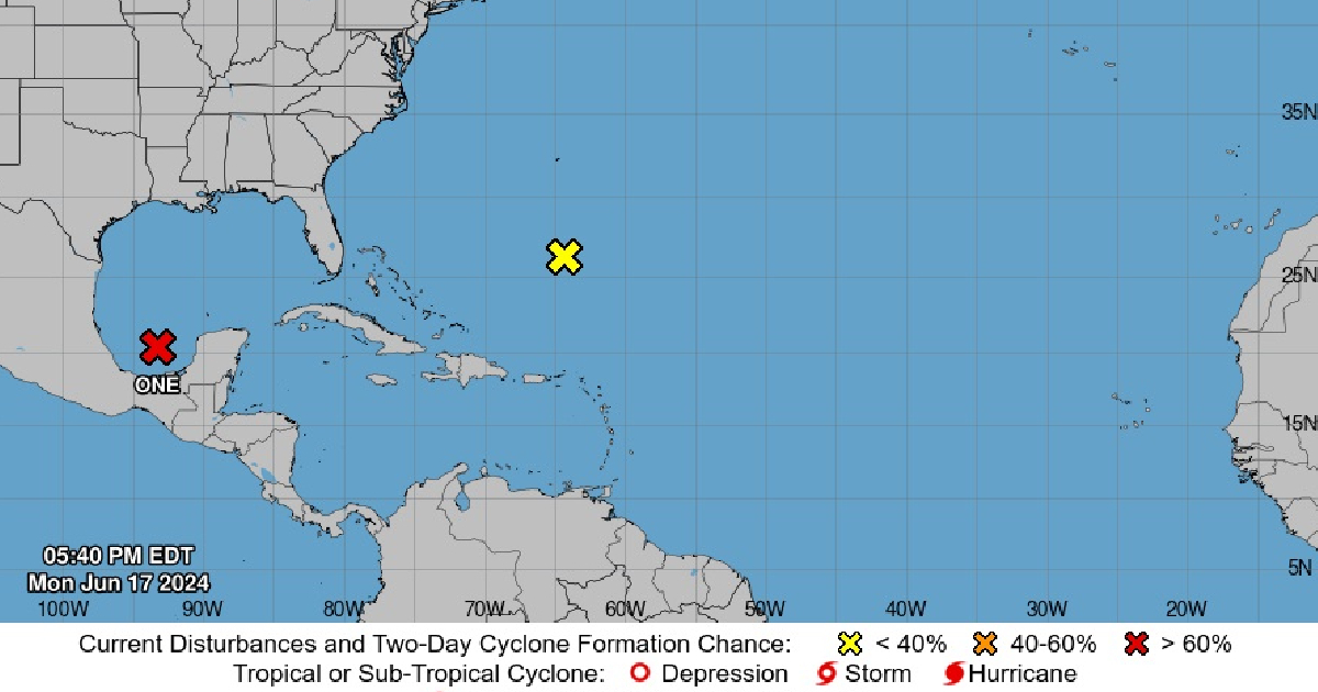
The National Weather Service (NWS) of the United States has issued a tropical storm warning for the Texas coast from Port O'Connor southward to the mouth of the Rio Grande.
In a statement, the governmental entity also noted that the government of Mexico has issued a similar warning for the northeastern coast of the country, extending from south of the mouth of the Rio Grande to Boca de Catán. The NWS emphasized that a tropical storm watch means conditions are conducive to the formation of a weather event within the watch area, typically within the next 48 hours.
As of 4:00 p.m., the system was observed moving north-northwest at approximately 7 mph (11 km/h), and this general movement is expected to continue until Tuesday. By Tuesday night or Wednesday, a turn towards the west-northwest is anticipated, likely bringing the system closer to the western Gulf coast by Wednesday night.
Currently, the disturbance is quite large, with tropical storm-force winds extending outward up to 290 miles (465 km) northeast of the center. Although the development of this weather system is far from Cuban shores, it is crucial to consider the conditions for the transit of small vessels, given the potential danger to life.
Frequently Asked Questions about the Tropical Storm Warning
With the recent tropical storm warning issued for the Texas coast, many people have important questions. Here are some of the most common inquiries and their answers.
What areas are affected by the tropical storm warning?
The tropical storm warning affects the Texas coast from Port O'Connor southward to the mouth of the Rio Grande, as well as the northeastern coast of Mexico from south of the Rio Grande to Boca de Catán.
What does a tropical storm watch mean?
A tropical storm watch means that conditions are favorable for the formation of a weather event within the watch area, usually within the next 48 hours.
How fast is the storm system currently moving?
As of the latest update, the storm system is moving north-northwest at approximately 7 mph (11 km/h).
