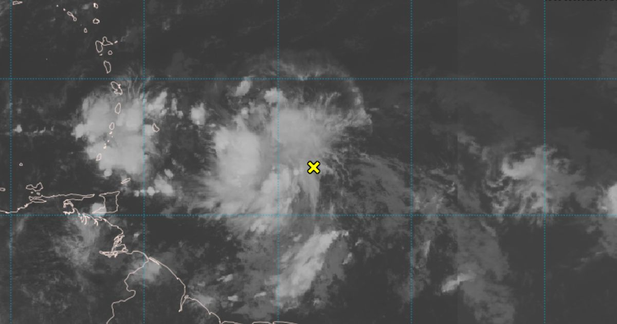
The National Hurricane Center (NHC) is closely monitoring a tropical wave located a few hundred miles east of the Windward Islands, which is producing an area of showers and thunderstorms.
The monitoring center has alerted nations in the North Atlantic, the Caribbean Sea, and the Gulf of Mexico to pay special attention to this new meteorological disturbance.
It is possible that this system will develop slowly over the next week. The wave is moving rapidly westward at approximately 20 mph, which means it will cross the Windward Islands early this week, the NHC noted.
The report specified that as the system advances, it is expected to move into the central and western Caribbean by mid to late week. Areas in its path should stay informed about its progress and any potential developments.
The NHC indicated that the probability of formation within the next 48 hours is low, at only 10 percent. Over the next seven days, the probability of development remains low, increasing to 20 percent.
Currently, the monitoring center is also keeping a close watch on Tropical Storm Debby, the fourth storm of the current hurricane season. In its alert, the NHC forecasts heavy rains, with potential coastal flooding in Florida and the southeastern United States.
Frequently Asked Questions about the Tropical Wave Monitored by the NHC
Here are some frequently asked questions about the tropical wave being monitored by the National Hurricane Center and its potential impacts.
What is the current location of the tropical wave?
The tropical wave is currently located a few hundred miles east of the Windward Islands.
What are the chances of this wave developing into a tropical storm?
The NHC has indicated that there is a low probability of development, with a 10 percent chance in the next 48 hours and a 20 percent chance over the next seven days.
Which areas should be most concerned about this tropical wave?
Nations in the North Atlantic, the Caribbean Sea, and the Gulf of Mexico should pay special attention to this system.
