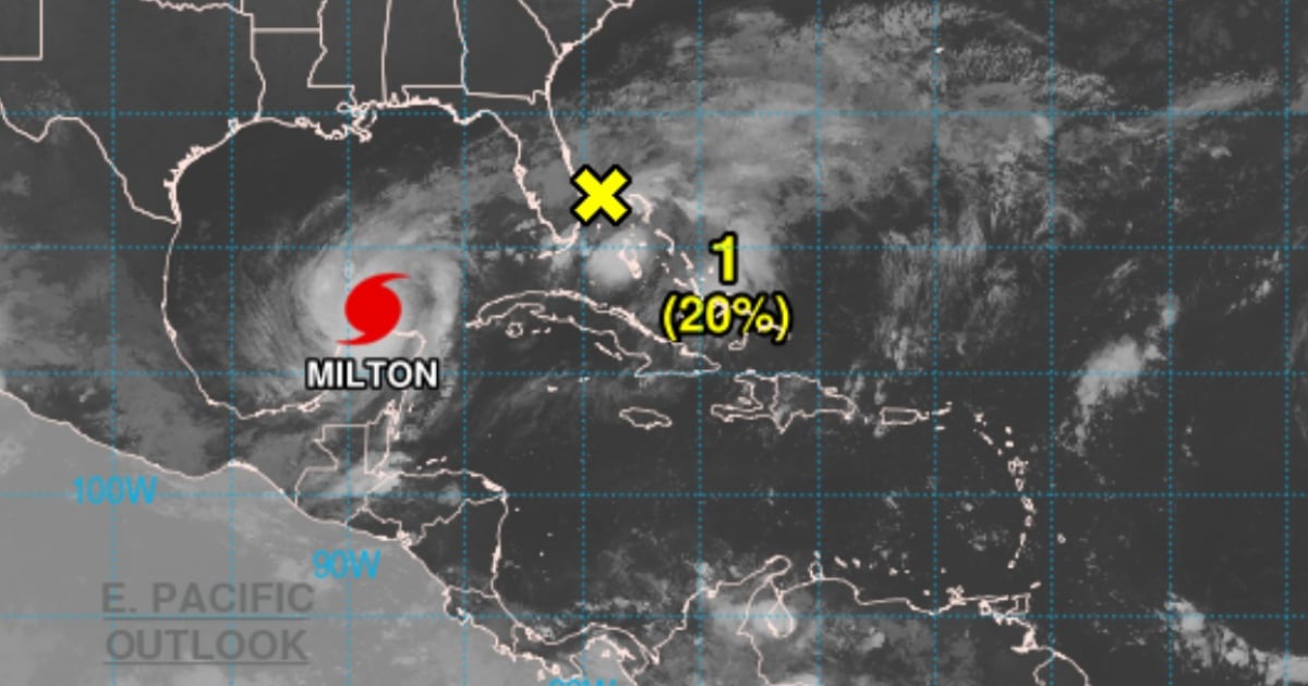
Hurricane Milton, now classified as a Category 4 storm, remains an extremely dangerous threat to Florida's peninsula as it moves northeastward after skirting the Yucatan Peninsula in Mexico. With sustained winds reaching up to 155 mph (250 km/h) and even stronger gusts, Milton poses a significant risk to life and property along Florida's west coast, where it is expected to make landfall Wednesday night.
As of 4:00 a.m. CDT, the eye of Hurricane Milton was positioned near latitude 22.3°N and longitude 88.9°W, approximately 87 miles northeast of Progreso, Mexico, and 562 miles southwest of Tampa, Florida. The hurricane is moving east-northeast at 12 mph and is anticipated to continue this trajectory, nearing Florida's west coast by Wednesday, potentially making landfall as a major hurricane.
Current Alerts and Warnings
The Miami Meteorological Service has issued warnings about the impending winds, rain, and storm surges that Florida will face. A storm surge warning is in effect for Florida's west coast, stretching from Flamingo to the Suwannee River, including Tampa Bay and Charlotte Harbor. Water levels in some areas could rise as high as 15 feet, posing a deadly hazard. Residents in these zones must heed evacuation orders from local authorities immediately.
Hurricane and Tropical Storm Warnings
A hurricane warning is active for Florida's west coast from Bonita Beach to the Suwannee River's mouth. Authorities caution that hurricane conditions, with winds exceeding 155 mph, could begin impacting the area by Wednesday afternoon.
Additionally, a tropical storm warning covers the entire Florida Keys, Lake Okeechobee, and parts of Florida's east coast, where tropical storm force winds are expected from Wednesday morning onward.
Storm Surges and Torrential Rainfall
Coastal areas near Milton's path may face severe flooding due to the combination of rising sea levels and large waves. The most affected regions could see water levels increase between 10 and 15 feet above ground level in Tampa Bay and surrounding areas, such as Englewood and Bonita Beach.
Milton is forecasted to bring between 5 and 12 inches of rain to Florida's peninsula, with localized accumulations reaching up to 18 inches in the hardest-hit areas. This could result in dangerous flash floods and potential river overflows.
Destructive Winds
Hurricane-force winds are expected to hit Florida's west coast by Wednesday afternoon, likely causing severe damage to structures, trees, and power lines. Tropical storm conditions will affect other parts of Florida, Georgia, and South Carolina.
Rip Currents and Surf
Rip currents and waves generated by Milton will impact much of the Gulf Coast over the next 48 hours, increasing the risk of drowning in coastal areas. Authorities urge residents in warning zones to finalize preparations immediately. The window for evacuation is closing rapidly, and it is crucial to follow local officials' orders to safeguard lives and property.
The combination of storm surges, hurricane winds, and flash floods could prove deadly, and should not be underestimated. Hurricane Milton is an extremely dangerous weather event that could inflict devastating damage in Florida. The mix of hurricane-force winds, storm surges, and torrential rains makes Milton a critical threat.
Authorities call on the public to stay informed through weather reports and adhere to guidance from emergency teams.