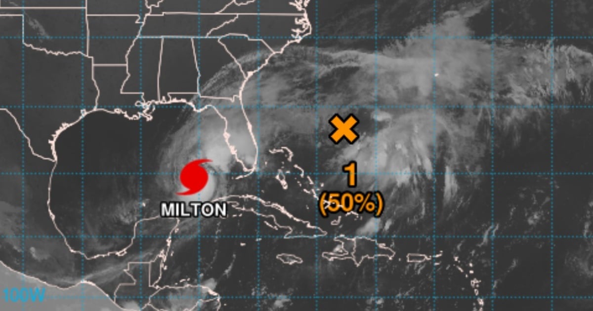
Hurricane Milton continues its relentless approach toward Florida, maintaining its status as a catastrophic Category 5 storm. With maximum sustained winds reaching 160 mph (260 km/h) and a central pressure of 907 mb, Milton poses a severe threat. As of 5:00 a.m. CDT on Wednesday, the eye of the hurricane was positioned approximately 160 miles (255 km) west of Dry Tortugas and around 300 miles (485 km) southwest of Tampa.
Currently, Milton is moving northeast at a speed of 14 mph (22 km/h) and is expected to maintain this trajectory until early Thursday morning, when it is anticipated to make landfall along Florida's central-western coast. By Thursday afternoon, the hurricane is forecasted to veer east-northeast, moving away into the Atlantic Ocean.
Severe Weather Threats Loom Over Florida
The Miami Weather Service has issued warnings of intense rains, strong winds, and potential tornado activity in southern Florida within the next few hours. Current projections indicate that Milton will make landfall late tonight or in the early hours of Thursday, wreaking havoc across much of the state. Local authorities have mandated evacuations in the most vulnerable areas, urging residents to adhere to all safety directives.
Hazardous conditions are predicted to persist for the next 36 to 48 hours, prompting those in high-risk zones to take all necessary precautions to safeguard lives and property. As an extremely dangerous hurricane, Milton's impact on coastal communities could be devastating. It is crucial to stay informed through official channels and follow local emergency services' guidance.
Alerts and Warnings in Effect
The hurricane has prompted a series of warnings and alerts for the affected regions. Areas under storm surge and hurricane warnings include:
- Storm surge warning for Florida's west coast, from Flamingo to Yankeetown, and the east coast from Sebastian Inlet to Altamaha Sound, Georgia.
- Hurricane warning for Florida's west coast, including Tampa Bay, and the east coast from St. Lucie to Ponte Vedra Beach.
These warnings indicate expected hazardous conditions, and areas at risk must be ready for the imminent impact of fierce winds and storm surges.
Storm Surge and Torrential Rainfall Risks
One of Milton's most significant threats is the storm surge, capable of causing destructive flooding along Florida's coastline. In regions like Tampa Bay, water levels could rise between 10 and 15 feet above ground, while areas such as Boca Grande and Bonita Beach could see surges of up to 12 feet. These floods pose life-threatening risks to those in coastal areas.
Additionally, Milton is expected to bring torrential rainfall, with accumulations ranging from 6 to 12 inches across much of the Florida peninsula, and locally up to 18 inches. This heavy rainfall heightens the risk of flash and urban flooding, alongside significant river flooding.
Hurricane Winds and Tornado Threats
Hurricane-force winds extend up to 30 miles (45 km) from the storm's center, while tropical storm-force winds reach up to 125 miles (205 km). Hurricane conditions are likely to begin affecting Florida tonight, spreading across the peninsula and impacting both the east and west coasts.
Furthermore, several tornadoes are probable today and tonight in parts of central and southern Florida, adding complexity to an already perilous situation.