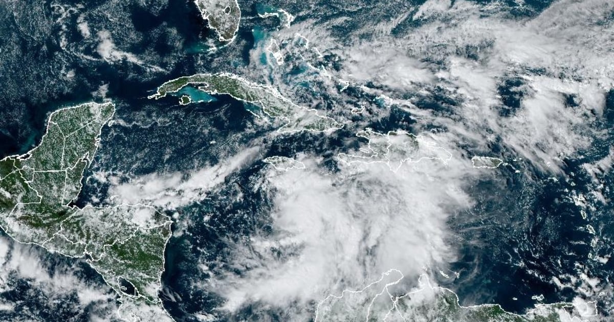
As of 3:00 p.m. this Monday, Cuba's Civil Defense General Staff has issued an alert phase for the provinces of Matanzas, Mayabeque, Havana, Artemisa, Pinar del Río, and the special municipality of Isla de la Juventud, due to the potential direct impact of Hurricane Rafael. According to the information from the Forecast Center of the Institute of Meteorology (INSMET), a low-pressure system in the Caribbean Sea has become better organized and has developed into Tropical Depression 18, located south of Jamaica. This system is moving northward at a speed of 15 km/h.
The Civil Defense has cautioned that as it continues its path, the system is expected to gain further organization and intensity. In the coming hours, it is anticipated to evolve into a tropical storm, which could eventually escalate to hurricane status.
Weather Impacts and Precautions
Due to the wide circulation of this depression, rainfall, showers, and thunderstorms are expected to begin this afternoon and evening across the central and western regions. In the eastern region, persistent rains may be strong and intense in certain areas.
The provinces that remain in an informative phase should continue to monitor the rainfall patterns associated with this system. Depending on the specific circumstances, necessary measures should be taken to safeguard people and resources.
Forecast and Warnings
During its first Tropical Cyclone Advisory, INSMET warned that "the wind and sea effects in various regions of the country will depend on the trajectory and intensity that this tropical cyclone system reaches." The U.S. National Hurricane Center (NHC) indicated that the system is heading north at 15 kilometers per hour and could shift northwestward today, with its projected path bringing it close to Jamaica tonight.
