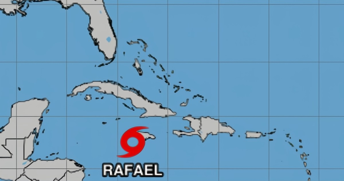
Tropical Storm Rafael is gaining strength in the Caribbean, unleashing heavy rain, fierce winds, and sea surges as it moves forward. It poses a potential threat to the Florida Keys within the next 24 hours. On Tuesday, the National Hurricane Center (NHC) reported that Rafael sustains winds at 95 km/h, progressing toward Cuba with the possibility of intensifying into a hurricane before impacting the area.
The NHC has issued a warning regarding potential tornadoes in the Florida Keys and the southwestern part of the peninsula starting Wednesday, as Rafael may create favorable conditions for such events. Local authorities are urging residents in these regions to take precautionary measures and stay informed about the storm's possible impact in the coming days.
Currently located near Jamaica, Rafael is expected to affect Cuba before heading north, potentially impacting the Florida Keys and the southwestern peninsula with severe weather conditions. The NHC has issued a Tropical Storm Watch from Key West to the west of the Channel 5 Bridge and the Dry Tortugas, as well as for Cuba’s provinces of Camagüey and Las Tunas starting this Tuesday.
The western provinces of Cuba are under a Hurricane Alert, anticipating heavy rains that could lead to landslides and storm surges. After passing through Cuba, Rafael may exacerbate the situation in Florida. Authorities in the Keys have advised the public to secure their homes and prepare for possible disruptions in essential services like electricity and water.
Should Rafael reach Florida as a hurricane, it is expected to cause flooding in low-lying coastal areas. The community in South Florida remains on high alert, closely monitoring the path of Rafael, a system that has already delivered significant rainfall throughout the Caribbean.
