South Florida is gearing up for its third cold front in under a month, which is expected to be more impactful than the previous ones this season. Here’s a summary of what to anticipate in the coming days.
The initial cold front arrived last Wednesday, providing a much-needed break from the region's humidity. The second one made its presence felt on Friday, leading to a refreshing weekend with Saturday morning temperatures at 60 °F.
When Will This New Cold Front Arrive?
Typically, South Florida experiences its first significant Arctic front around Christmas, but this year it’s arriving much earlier. By Wednesday, cold air from Canada is expected to sweep down the East Coast, reaching South Florida and ushering in the cold front by Thursday.
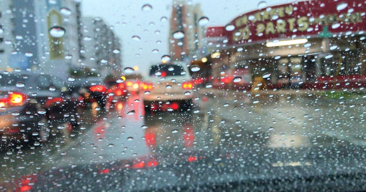
Significant rain is likely on Wednesday afternoon and evening due to the cold front's interaction with the remnants of Tropical Storm Sara, which may also bring some gusty winds. Thursday morning will still see some rain, but the humidity will quickly drop afterward.
By Thursday afternoon, mostly sunny skies are anticipated, extending into Friday, Saturday, and Sunday. Temperatures from Friday through Sunday will stay cool, with highs around 70 °F and lows in the 50 °F range, marking the coldest temperatures since February. Sunday is expected to be predominantly sunny with lows near 60 °F.
Meteorologists emphasize that this cold front might unofficially signal the end of the hurricane season.
